Bryce Canyon National Park: The Ultimate Guide
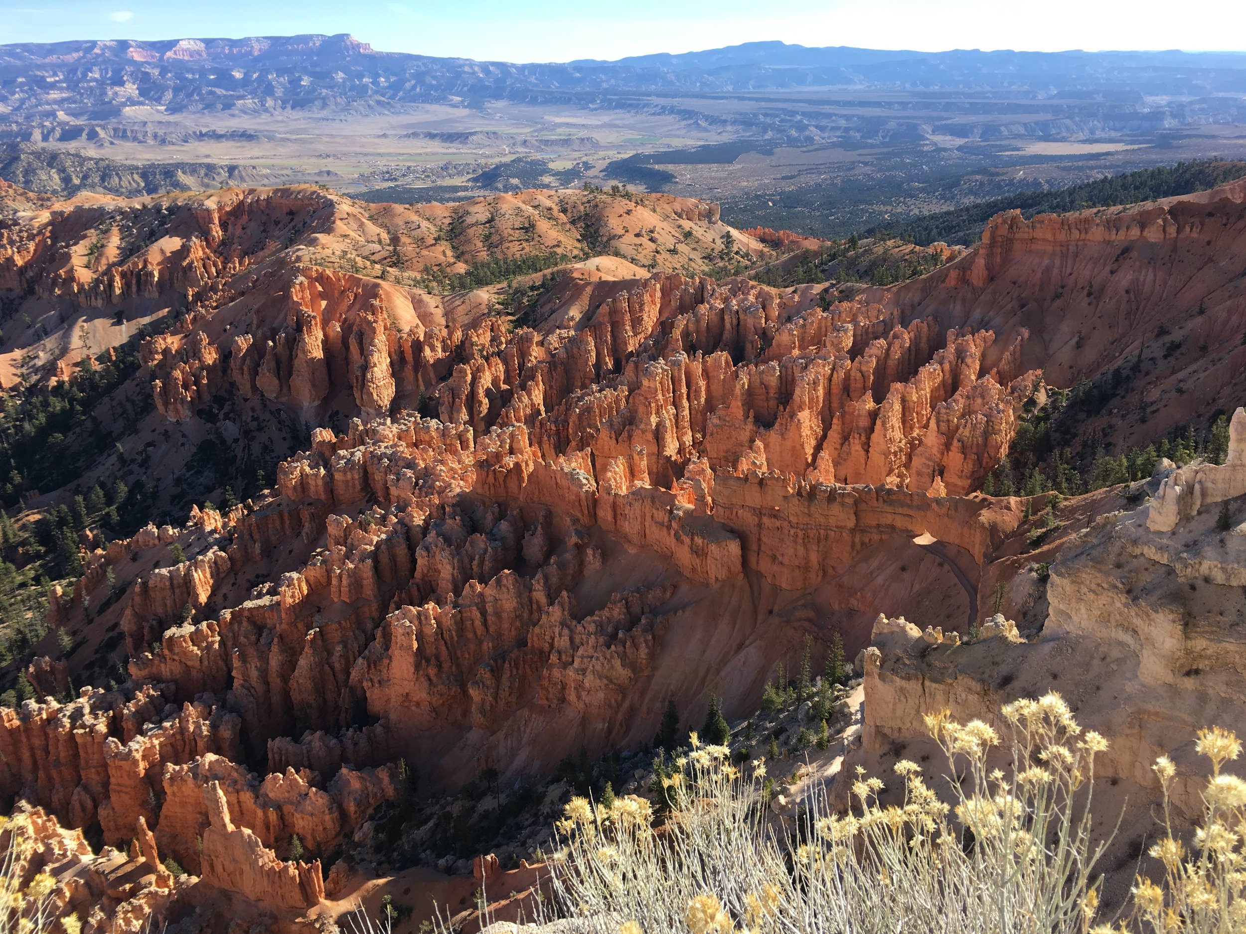
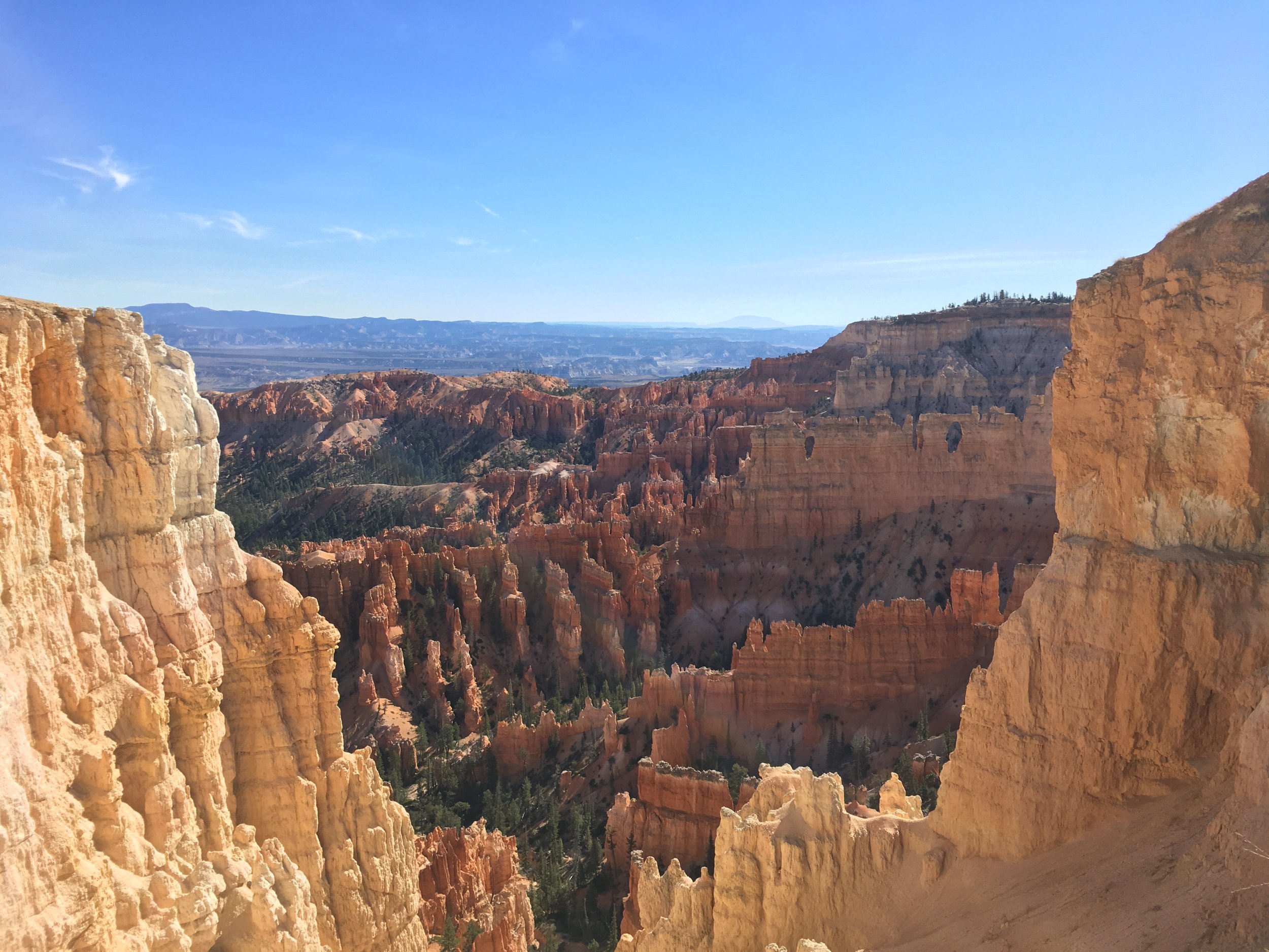
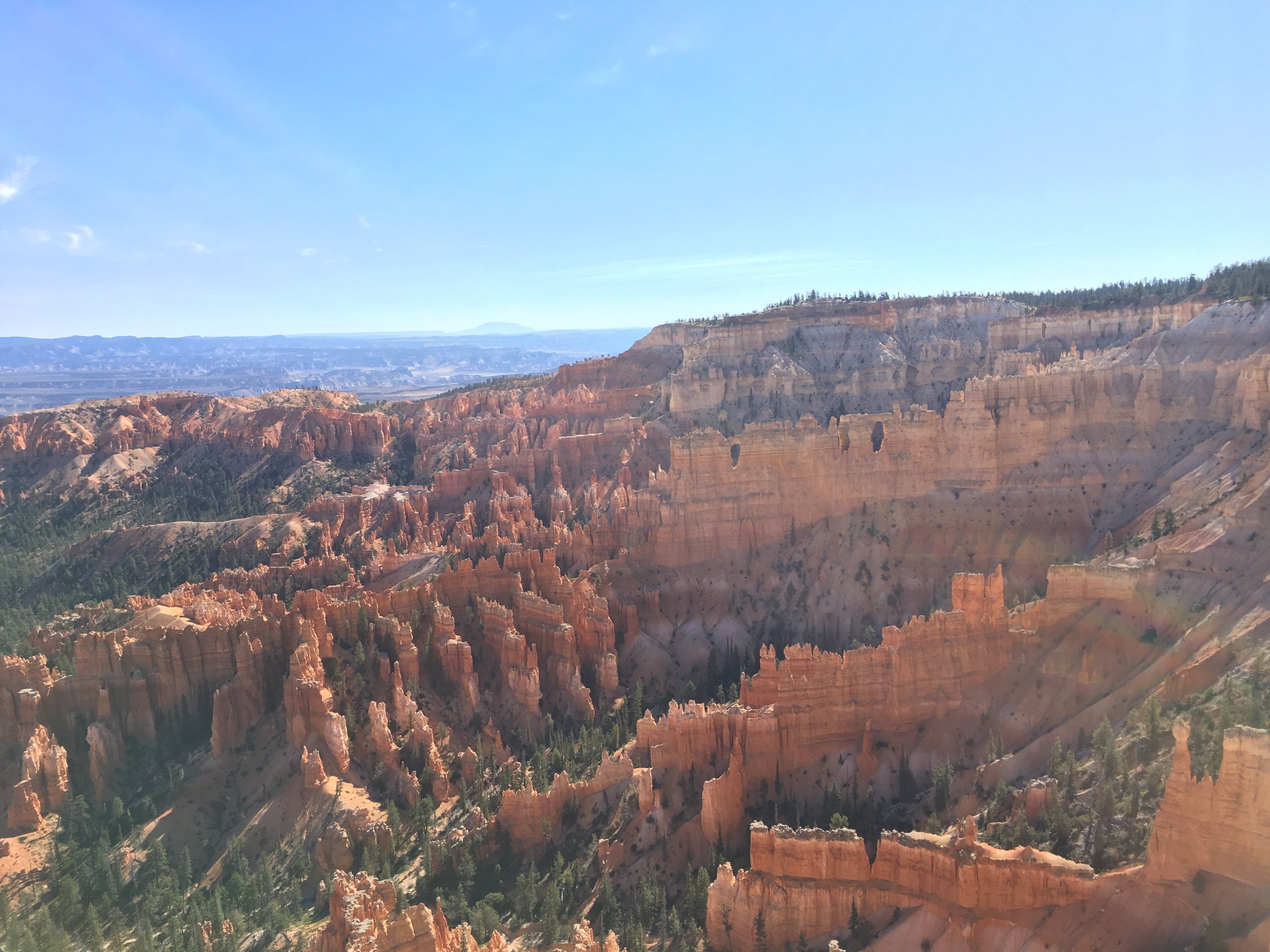
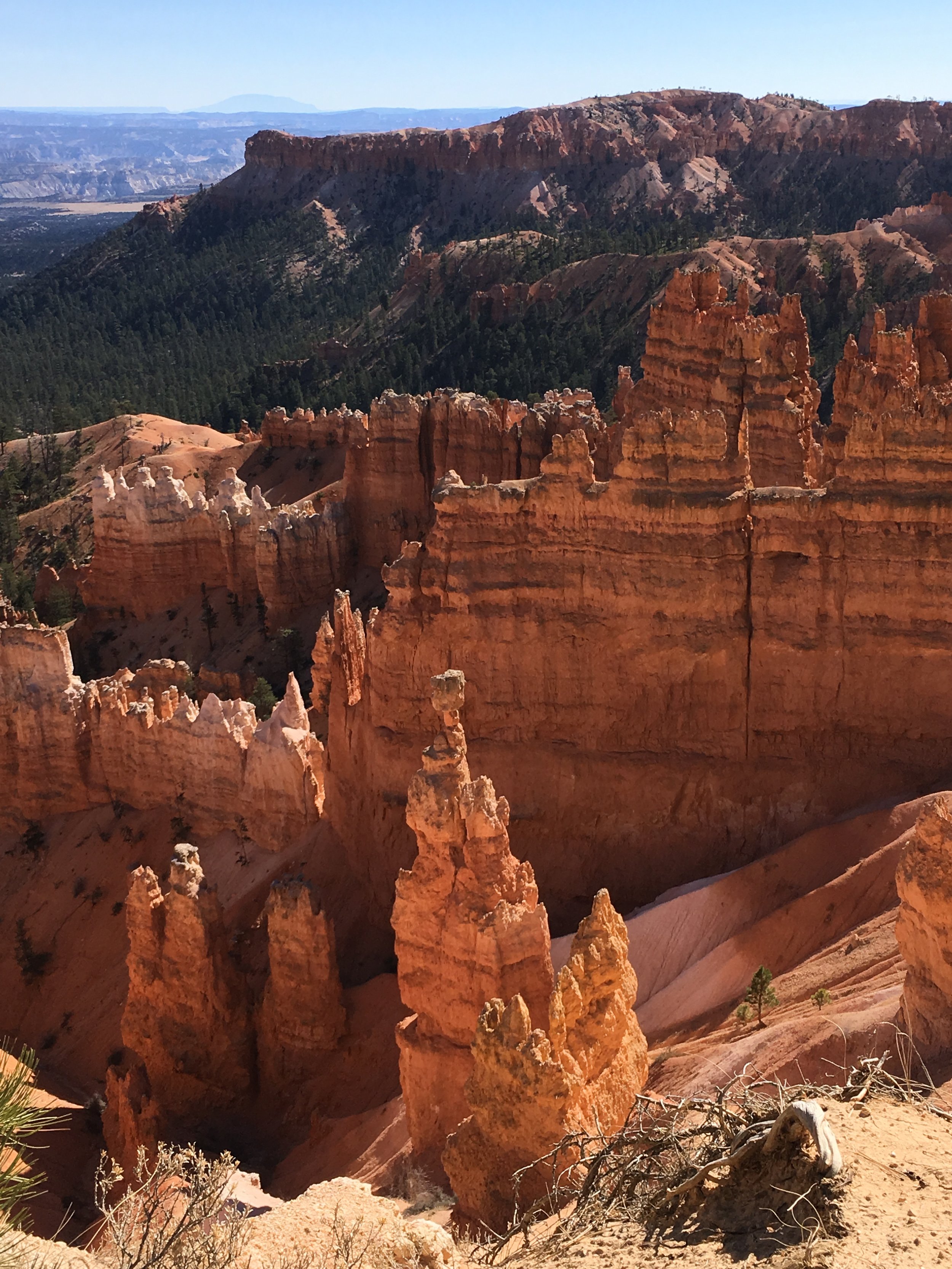
Bryce Canyon National Park is known for its Hoodoos. Hoodoos are irregular columns of rock. When I say it like that it doesn’t sound so interesting, but if you look at that picture below, I’m sure you’ll understand what I mean when I say that Bryce Canyon is one of the most impressive National Park I’ve ever seen. And guess what? Here is the ultimate guide in case you are planning a trip to Bryce Canyon as well.
Where is Bryce Canyon National Park located?
Bryce Canyon National Park is located in southwestern Utah. It is only 1 hour and 20 minutes away from Zion National Park. The proximity of these two National Parks make them perfect for a weekend getaway full of adventure and discovering nature.
Bryce Canyon is also open year-round. The temperature ranges from 25°C (80°F) during the summer to -8°C (17°F) in winter. Bryce Canyon is located about 300 m (1.000 feet) higher than Zion National Park, therefore it often has a cooler climate. I remember needing sunscreen in Zion National Park but reaching for my winter jacket in Bryce Canyon the next day.
Where to stay?
The obvious place to stay when you are visiting Bryce Canyon is Ruby’s Inn. Not only do they offer lodging, but there is also a campground and RV park. It doesn’t end there, though. Ruby’s Inn can hook you up with horseback riding, mountain biking, ATV rides, and helicopter tours. There is a gift shop and a general store that offers authentic Indian arts like jewelry, pottery, and weavings. And when you’re hungry after a long day discovering the park, Ruby’s Inn also has no less than three excellent restaurants.
Ruby’s Inn is located 4 km (2,5 miles) from Bryce Canyon’s visiting center. Luckily you don’t have to walk there, because right outside of Ruby’s Inn is the Bryce Canyon Shuttle that will take you straight to the park.
Do you want to be even closer? Good news, it is also possible to stay in the park itself at the Bryce Canyon Lodge. You can rent out a western cabin, a lodge room, a guest suite, or a complete guest studio. Bryce Canyon Lodge has a restaurant that serves breakfast, lunch, and dinner, as well as a pizzeria and coffee shop.
Ruby’s Inn welcome bear
How to get around in Bryce Canyon National Park
As with most National Parks, there is not a lot of parking. The easiest way to discover the park is by far by leaving your car behind at one of the visitor’s parking lots and taking the shuttle. The shuttle is free with park admission. If you plan to board the shuttle from outside the park, for example, from Ruby’s Inn, you need to show proof of admission before you can board the shuttle. You can buy proof of park admission at Ruby’s Inn and Ruby’s Inn Campground.
The shuttles run in a loop and stop at most trailheads. The shuttles don’t go on the Southern Scenic Drive, so if you want to visit that part of the park you’ll need to bring your car. There is a shuttle about every 15 minutes. Shuttles are wheelchair accessible and have room for 2 bicycles on a front rack. Be aware that there are no shuttles during the winter season (October 24 – March 31).
Best hikes and viewpoints in Bryce Canyon National Park
Let’s dive into the best hikes and viewpoint of Bryce Canyon National Park. The park consists of the Bryce Amphitheater and the Southern Scenic Drive. The Bryce Amphitheater is without a doubt the most visited part of the park, and for good reason. The Amphitheater has all the good views and famous hikes. Here is an overview.
The Rim Trail
The Rim Trail can be walked in both directions, but the best way is to start out at Bryce Point overlook. You can take the shuttle to the viewpoint and walk all the way to Fairyland Point. The Rim Trail is a little shy of 9 km (5,5 miles) long and follows the edge of the cliff of the Bryce Amphitheater. Along the way, you’ll encounter spectacular viewpoints of the entire Amphitheater.
This trail is a great way to get the complete overview of what Bryce Canyon has to offer. There are also several trails that start from the Rim Trail and go deep into the canyon in case you want to get up and personal with some of the hoodoos.
The Navajo Loop Trail
The Navajo Loop Trail is where you can do those famous switchbacks as you descend into the Amphitheater. The famous switchbacks are located on Wall Street. This Wall Street has nothing to do with the stock market, but is named so because you’ll be walking down a narrow path between sheer cliffs.
The Navajo Loop Trail is about 2 km (1,3 miles) long and starts and ends at Sunset Point. The hike is considered moderate. Once you are down in the Amphitheater, the trail is mostly flat, but ascending and especially descending back up to Sunset Point can be intense, depending on your physical condition. The views are worth it though, as well as the satisfaction of reaching Sunset Point again after an intense uphill hike.
The famous switchbacks of the Navajo Loop Trail.
Rainbow Point
Rainbow Point is located all the way on the other side of the park, at its most southern spot. Rainbow Point, together with Yovimpa Point right next to it, are the highest viewpoints of Bryce Canyon National Park. This is where you’ll get the farest views of the park. The shuttle bus does not drive to Rainbow Point, so if you want to visit this part of the park, you’ll have to provide your own transportation.
Several trails start at Rainbow Point. From here you can go on the Bristlecone Loop (1,6 km – 1 mile) or the longer Riggs Spring Loop (14,2 km – 8,5 miles).
Things to know before you book your trip to Bryce Canyon National Park
It can snow quite a lot in Bryce Canyon National Park. Bring warm clothes, dry socks, and traction devices. If you don’t have any traction devices, you can get some at the visitors center. Also, remember that the shuttle bus doesn’t run during winter and that a lot of the lodges and campgrounds will be closed.
Stop at the visitor center first. The visitor center is always a good place to start in any National Park. Here you can find out more about the park’s history and get your maps. Most importantly, in my opinion, this is where you can get your National Park Passport Stamp. Getting that little passport book is a great way to memorize all the National Parks you’ve visited and when. It is one of my most cherished possessions and I hope to get a lot more stamps soon.
The plateau rim is the most dangerous place to be during a thunderstorm. If you hear thunder, that means that a storm is close by and lightning strikes are possible. Keep this in mind when you decide to go to the park on a stormy day (not recommended!).


